Map Search: Historical maps overlaid on modern maps
View historical maps overlaid on a modern map
Use the NLA's Map Search to position historical maps over current map base layers, and view or add map features.
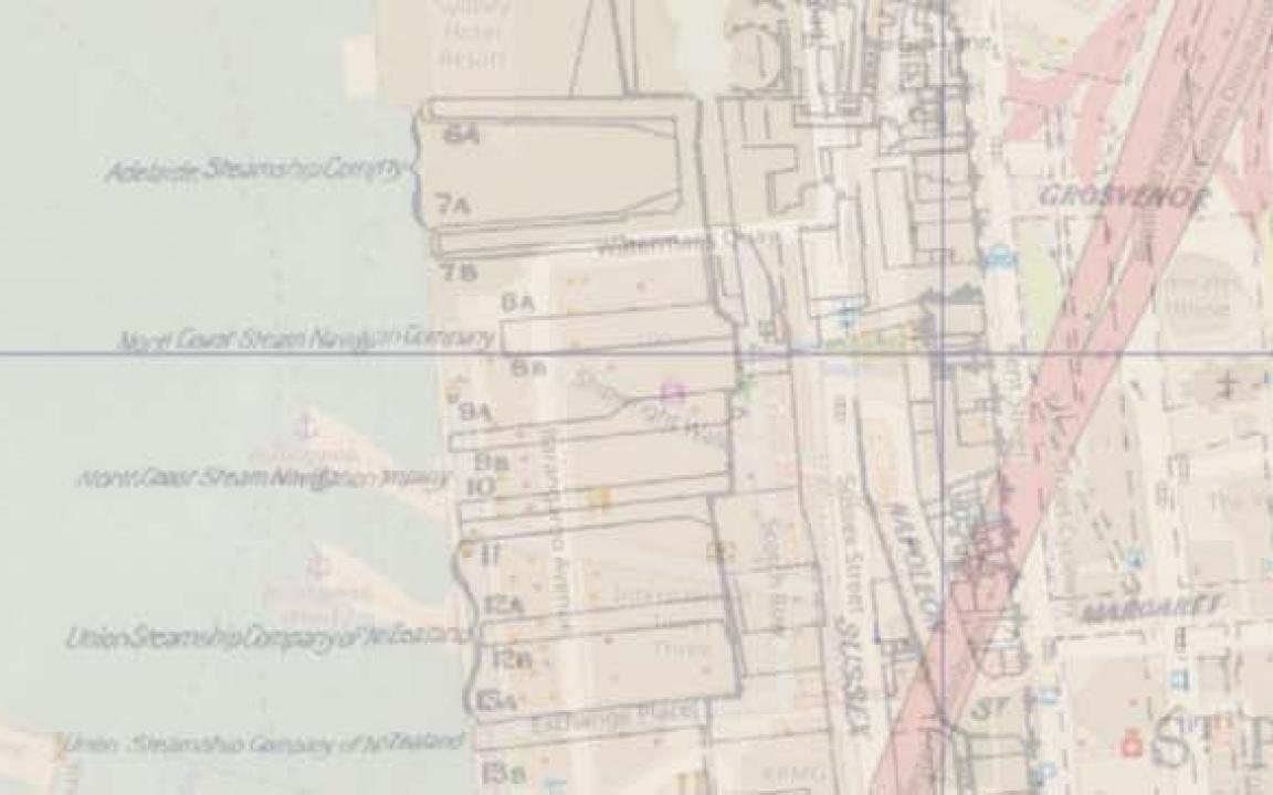
Map Search includes thousands of Australian topographic maps, tourist maps, cadastral or parish maps - showing property boundaries and administrative areas, planning maps, geological maps, and more! You can view these historical maps overlaid on three current map base layers.
Explore Map Search to see in fine detail how your local region has changed over the years, and share your family history finds.
Create an account and log in to geolocate maps and add features, such as schools, mills, missions, property blocks, and cemeteries.
Page published:
11 Jul 2022